Emergency Management office now has access to damage assessment app
Published 7:00 am Friday, November 22, 2019

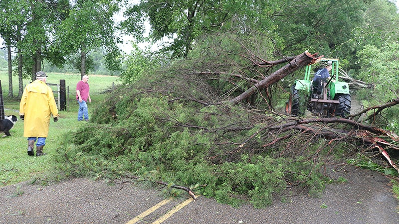
- Downed tree: Fallen trees, such as this one along Jackson Landing Road that was felled during a recent wind storm, can damage homes and other property. The county emergency management office recently acquired access to an application that can help expedite the process of assessing the value of damage caused in a disaster. File photo by Jeremy Pittari | Picayune Item
By using a new app, the county will be able to make more accurate damage assessments after natural disasters.
The state has contracted with Crisis Track, an app that uses a government’s existing GIS mapping data and property values from data in the E911 system to make accurate value assessments for property destroyed as part of a natural disaster, said Emergency Management director Danny Manley.
After a disaster, emergency management needs to use an electronic method to calculate damage to properties and the value of lost valuables, said Manley. Damage assessments are used to determine how much disaster assistance the county can receive from the state and how much assistance the state can receive from the federal government.
Previously, the county trained employees to estimate the value of damaged property, Manley said. Pearl River County uses county engineers for damage assessments on public property, like roads, bridges or government buildings, he said. State and county workers assess damage to private properties.
With the new app, workers will be able to use data the county already has to make more precise value assessments. The information is coming from the county’s E911 system, GIS mapping and parcel pins kept by the tax assessor, Manley said. The change will not create any additional work for emergency management and instead will be a more efficient way to perform damage assessments, Manley said. The county’s emergency management personnel have already been trained on using the app and the county’s data has been transferred to the app, Manley said.
The app is not publicly available because users need state approval, Manley said.
According to the Crisis Track website, data is stored on a user’s mobile device for only as long as they are logged into the app. The data is transferred to a server and wiped from the device when a user logs out, the website states.


